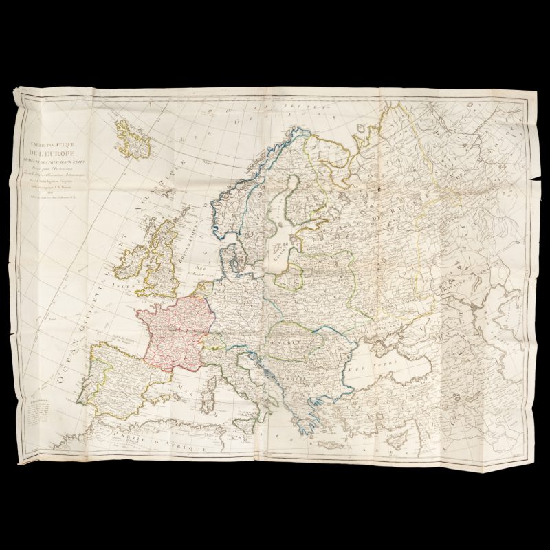
Carte politique de l’Europe, divisée en ses principaux états
$ 98.00
Dressee pour l’Instruction et sur les dernières Observations Astronomiques par J. B. Nollin, Ingénieur Géographe. Revue et corrigée par J. B. Poirson. Paris : chez Jean, 1802. Copperplate engraved map on paper, 750 x 1080 mm (sheet), folded, manuscript title verso, original hand colouring in outline, a couple of small holes at the corners of the folds, else fine. An impressive large scale map of the European continent showing the routes of the departures and arrivals of Captain Cook’s three voyages.
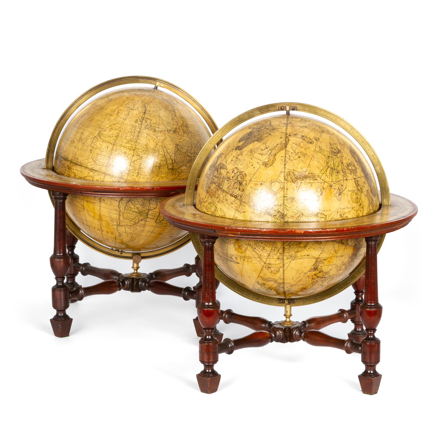 A matching pair of Georgian terrestrial and celestial table globes
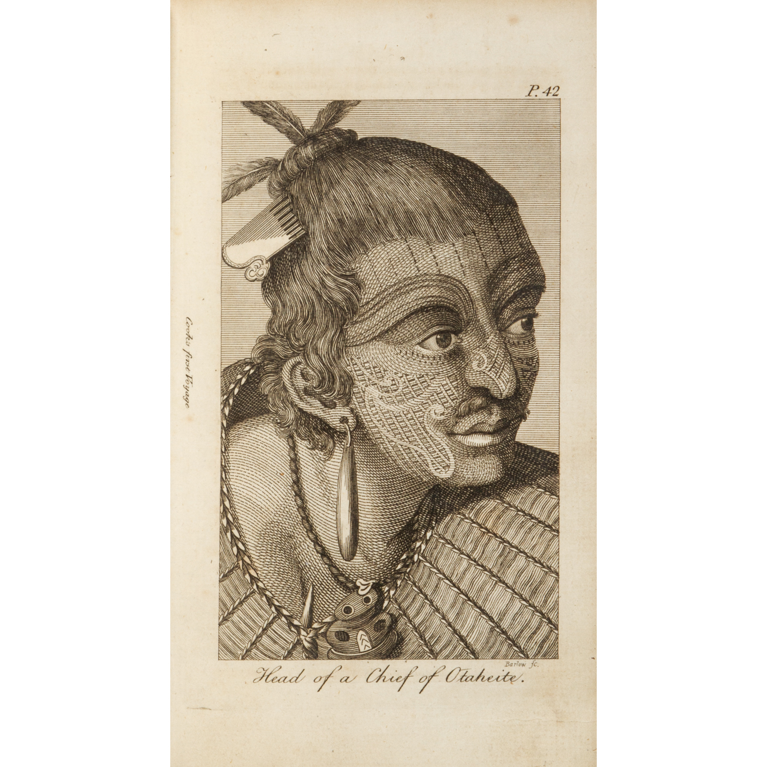 An abridgement of Captain Cook’s first and second voyages.
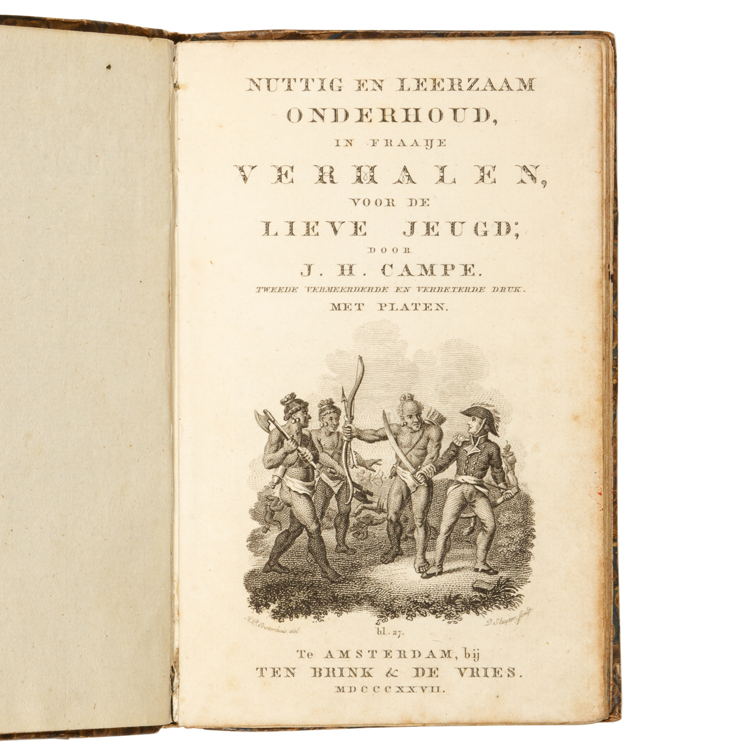 [COOK] Nuttig en leerzaam onderhoud, in fraaije verhalen, voor de lieve jeugd; door J. H. Campe.